05/12/2024
Event Summary: Overview of water quality modelling projects from the Queensland Water Modelling Network with Callym Dunleavy
Read more
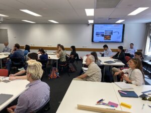
After a few month's break, it was great to have our network together in person again!
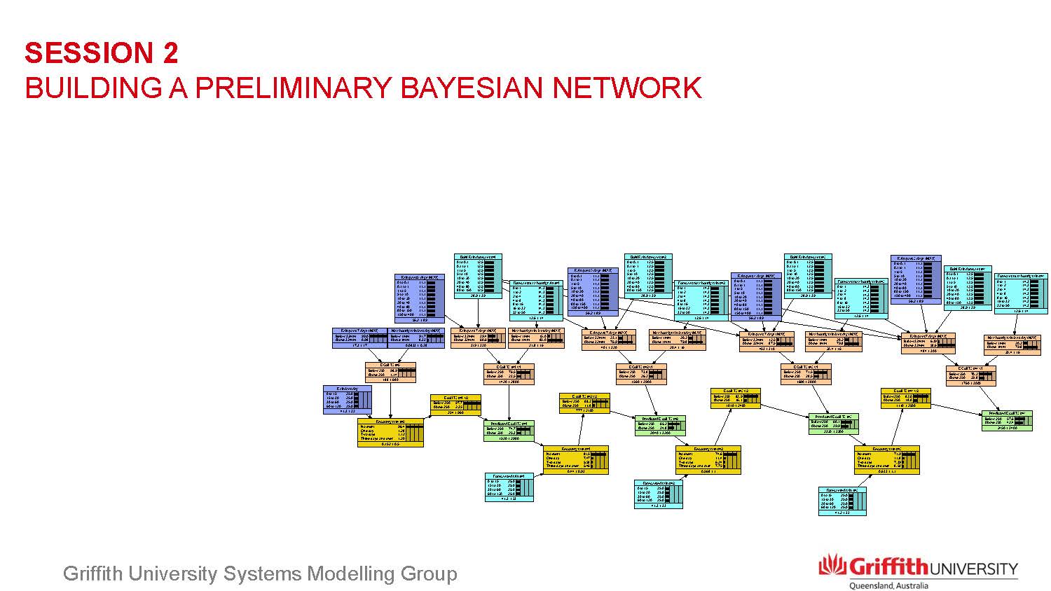
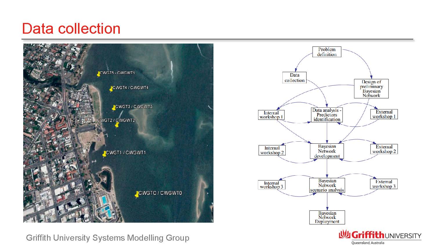
We came together to discuss the role of a Bayesian approach for looking at water and land management challenges, asking:-
why would one use this, what are the outputs, what do you need to do to design and develop the tool and what is the role of collaborators to build the knowledge in the system??
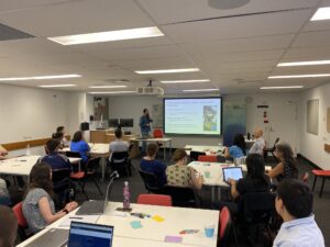
On the afternoon of Tuesday 22 October we welcomed Edoardo Bertone, Senior Lecturer at Griffith University and Jack Coates-Marnane, Principal Scientist – Catchments and Waterways, Healthy Land & Water, to share their knowledge and experience of Bayesian Network models and tools.
Edoardo led us through an overview of:
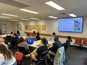
We were given the opportunity to play with our ability to guess the probabilities – the mathematicians in the room loved it – and start to map out the key elements to prepare a Bayesian Network for a management response.
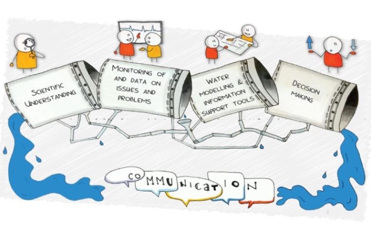
With a mix of education and application, there was something for everyone along the QWMN pipeline within Edoardo’s presentation!

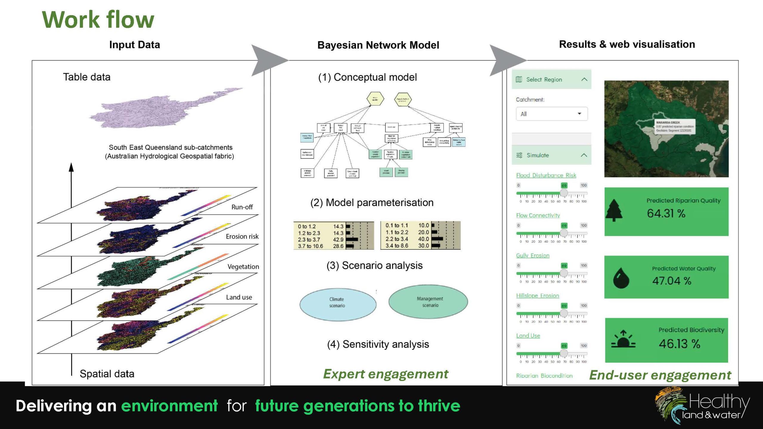
After a delicious afternoon tea, Jack Coates-Marnane presented an overview of his knowledge and experience with Bayesian Network applications in water and natural resource management. The most recent being the QWMN RDI project that Healthy Land & Water, Mirror Analytics and QUT undertook to revolutionise riparian management!
It was a special treat to be guided through the resulting visualisation tool, which is still in development, to get a sense of what is possible for guiding riparian land management.


Key takeaways from the session from both Edoardo and Jack’s presentations were:
Thank you again for your time and efforts in presenting such a comprehensive and dynamic session Edoardo and Jack!

