05/12/2024
Event Summary: Overview of water quality modelling projects from the Queensland Water Modelling Network with Callym Dunleavy
Read more
Climate change is rapidly impacting the hydrological cycle and thus the availability of water resources for humans and nature. During extended dry periods, water storage in reservoirs is critical for human needs and persistent riverine pools provide essential refuges for aquatic biodiversity. However, understanding how surface water availability may change in response to projected increases in climate variability and extreme events such as droughts in Australia is challenging.
To address this challenge, the Australian Rivers Institute at Griffith University has recently commenced a new project funded by the Queensland Water Modelling Network’s research, development and innovation program.
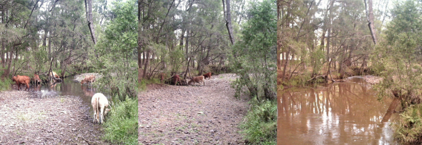
The project will develop fine-grained, predictive models of surface water availability under future scenarios of climate change throughout south-eastern Queensland river networks to inform water planning and biodiversity management. The team will take advantage of newly developed high resolution, downscaled future projections of gridded daily runoff (Australian Water Resources Assessment Landscape (AWRA-L) model) from the Bureau of Meteorology to quantify variations in river discharge, routed along river networks. This will be used to simulate changes in surface water inflows to water storages under future scenarios of climate change. The team will also use AWRA-L model projections of future rainfall, temperature, evaporation and runoff to predict variations in riverine surface water extent under future scenarios of climate change. This will inform spatial prioritisation of riverine waterholes as potential refuges for freshwater biodiversity that can be targeted for efficient on-ground conservation management.

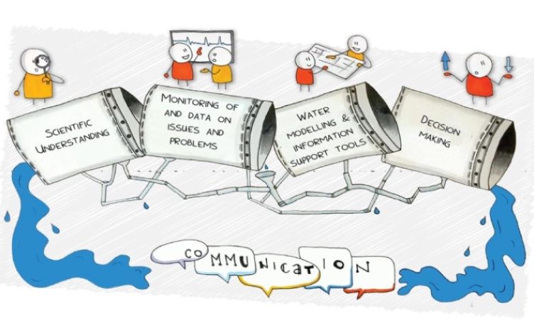
The project will deliver critical hydrologic information for water utilities to assist water resource modelling and planning for human water security under a changing climate. Working closely with key stakeholders, the team will also run knowledge adoption workshops and develop guidelines for management of climate-resilient refuge waterholes to assist regional councils, natural resource management groups and land-holders. The project will deliver real-world impact by providing hydro-ecological model outputs in user-friendly forms to support water management and community adaptation to climate change.
The project involves close collaboration with a range of key stakeholders including data providers (Bureau of Meteorology), water utilities (Seqwater), peak natural resource management groups (Healthy Land and Water) and government (Department of Environment and Science and Department of Natural Resources, Mines and Energy).
For more information about this project, please contact Mark Kennard ([email protected]).