05/12/2024
Event Summary: Overview of water quality modelling projects from the Queensland Water Modelling Network with Callym Dunleavy
Read more
The Queensland Water Modelling Network (QWMN) annually commissions a series of Research Development and Innovation projects on key industry based challenges. In September this year, QWMN hosted a showcase of the outcomes from selected projects from the 2022 tender round. The outcomes from these had the Engagement team thinking we might all benefit from diving a little deeper into some of the bigger ideas that emerged from this year's work.
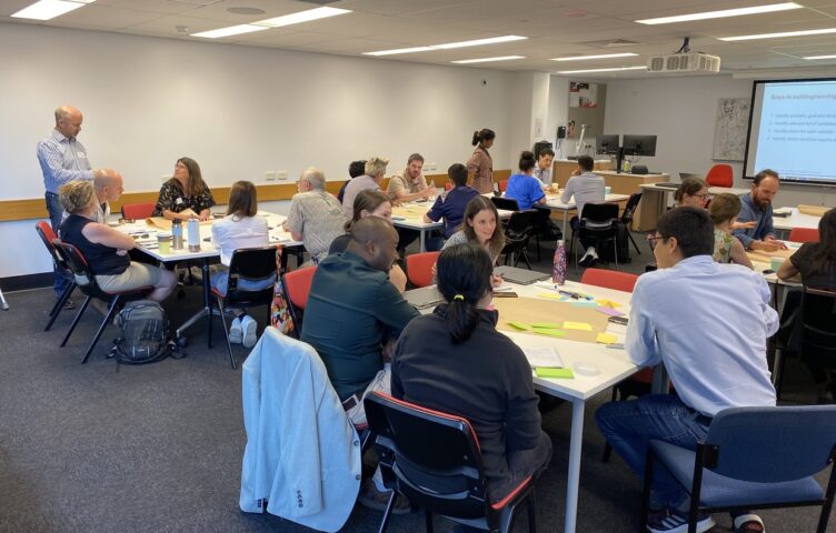
This article is a summary of the discussions from each follow up webinar in November, where we heard more from three of the 2022 projects with plenty of discussion. On average we had 30 participants register in each webinar.
This project was a collaborative partnership from Alluvium, BMT, Griffith University and Brisbane City Council, builds on years of catchment understanding from Healthy Land and Water and their partners.
In this webinar a fresh approach to modelling nutrient movements in local catchments were presented. Based on past modelling experiences by the project team and by adapting existing water modelling tools, the scale of looking at the influence of a local catchment can now be much more detailed.
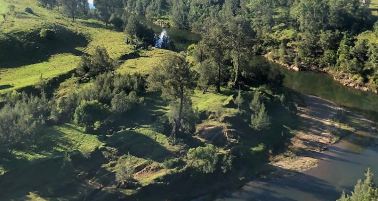
Oxley Creek catchment was used as the pilot to test the do ability of this approach and the results appear to be promising. Moving away from a lumped approach of a catchment or sub catchment influence/runoff, to a that of grid based arrangement of land uses draped over the catchment allows a better match of the variability that does occur. These flow across the catchment are then coupled with instream freshwater receiving models that are then linked to estuarine models. And this whole process of being well linked is a breakthrough not seen easily before.
Benefits for users are still evolving, as the insights from detailed changes across a landscape are different from previous simulations.
This project was a collaborative partnership between the University of Southern Queensland, Mary River Catchment Coordinating Committee and the Department of Environment and Science and builds from the PhD research that Cherie undertook with us an Innovation Associate.
Customisation of an ungauged river for water quality runoff was the challenge for this project. To assist in this task a detailed PhD study by the project leader, Cherie O’Sullivan was on hand to assist in using an alternate approach. Rather than just matching the ungauged catchment with an adjacent gauged catchment or one with similar physical characteristics, the new study was able to look at other matching criteria.
Using a suite of analysis based on Artificial Intelligence techniques, water quality profiles for a catchment were considered with a suite of different catchment attributes. Two useful characteristic features identified were land use activities and vegetation types. So by looking at various gauged catchments saw that land use does provide some similarities in water quality profiles, but when you look at the different types of seasonal flow that indeed vegetation types gave a better match in the types of water quality profiles recorded.
Based on these understandings gauged and ungauged catchment in the Mary catchment were compared to see what matching could best be utilised. Along the way looking at actual past grab sample water quality results from community water watch activity in an ungauged catchment did help to appreciate the variability in results being recorded. Matching this variability was a similar variability in vegetation types in the near vicinity. This customisation process is still underway , but it would appear that finding a similar vegetation type catchment was going to provide the best match for this ungauged catchment.
This project was a collaborative partnership between James Cook University, Alluvium, Jaragun EcoServices, Department of Resources, Department of Agriculture and Fisheries.
The presence of paleochannels in North Queensland coastal catchments has triggered this project to question “what difference do they make to flows” in these catchments. Based on collaboration with State Government teams that have mapped paleochannels locations through electromagnetic induction (EMI) techniques and by patterns of crop performance mapped from aerial coverage from drones, some fundamental what if questions were designed.
To help query the influence of paleochannels, a very simple biophysical model was developed using a mix of different modelling tools. This is a very early start to develop the structural features of a model and based on preliminary analysis it appears that relative flows for different scenarios are being well simulated. The ability to map a paddock at a small scale with confidence is vital, if this influence of paleochannels to interrupt the groundwater flows is to be better understood and also considered what influence it can have at a larger catchment wide scale.