05/12/2024
Event Summary: Overview of water quality modelling projects from the Queensland Water Modelling Network with Callym Dunleavy
Read more
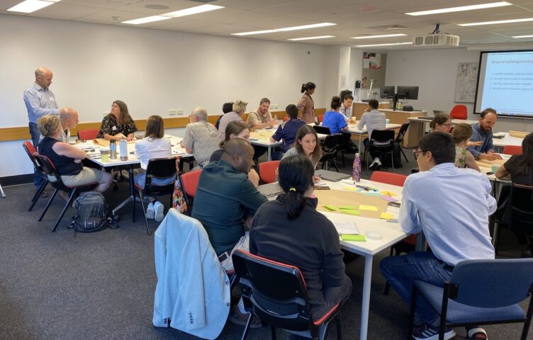
On 29 August we held a lunchtime RDI Showcase to discuss the MERGE (Modelling Erosion Resistance for Gully Erosion) model that’s currently in development by the ARC Industry Fellow (and previously the QWMN Senior Research Fellow), Dr Melanie Roberts, based in the Australian Rivers Institute (ARI), Griffith University, in collaboration with Queensland Government, researchers, scientists and end users in the QWMN, and academic partners.
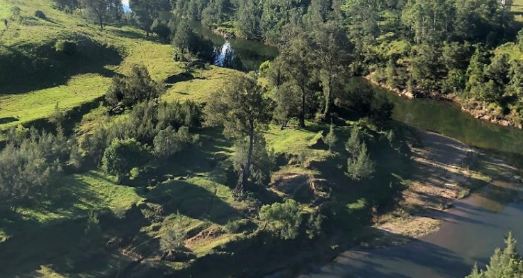
The MERGE (Modelling Erosion Resistance for Gully Erosion) model was developed in response to the identified need for a process-based model of gully erosion to inform gully rehabilitation and management. Further details can be found in the regional pilot report, from June 2022.
We had 52 registrations composed of 22 x Consultants, 7 x Research staff, 8 x Local Gov’t employees, 11 x State Gov’t employees, and 1 person each from a Water Utility, an NRM group, Education facility and an Industry Peak Group. To watch the recording, follow this link and this passcode: 7jT@lHn8.
As a dedicated mathematician, Melanie is equally passionate about making the application of the gully models match real world needs and support practitioners in their efforts to remediate and reduce the impact of eroding gullies so we were excited to unpack this body of work with her.
We started by exploring the process of ‘What is involved in making a model that looks at gully erosion processes?’ with Melanie.
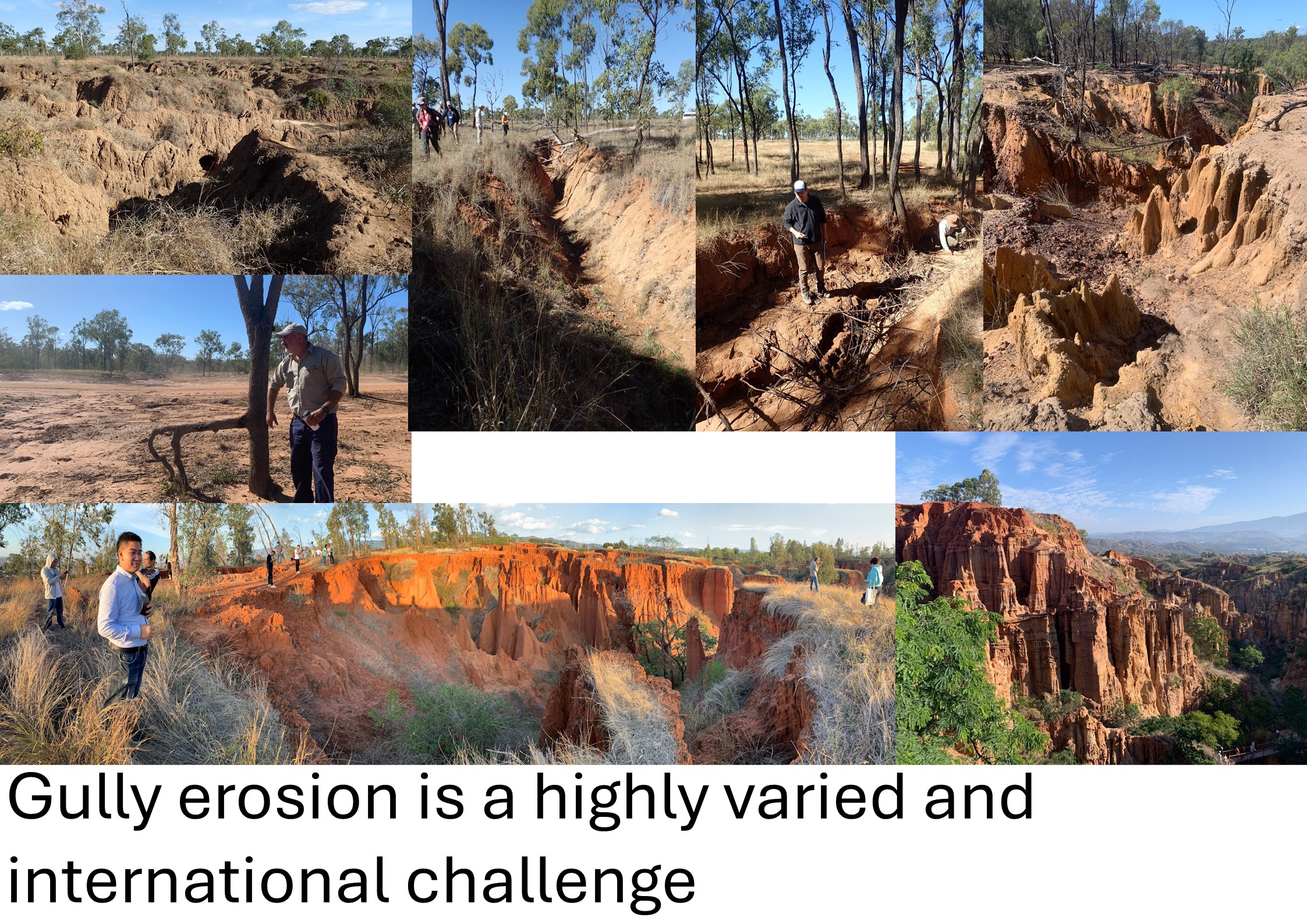
She began by first defining what a Gully is. This didn’t come easily as this can vary across landscapes and rainfall zones as seen in the images below.
Another important question for Melanie to unpack was understanding ‘Why do we want to model a gully?’
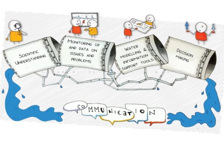
Driving the modelling approach is the motivation to develop models to be able to experiment in a computer, rather than just on land, and to capture the physics of how a gully erodes. This would help to understand how we can benefit from, and/ or what benefit we can expect to achieve from, different management strategies, and different ways to fix or rehabilitate a gully.
Melanie shared that we don’t generally have a lot of data and observations of the mechanics of gully erosion so data-driven models aren’t well suited to this particular task.
One of the key drivers for using maths to develop a model of gully processes was to have a simple model that didn’t rely on lots of data. To do this, Melanie started by focusing down on the key processes of gully formation – right from when it is forming as head cut retreat when the gully is young. This involved discussions with people who had been observing gullies for many years, visiting gullies and using maths to capture those physical processes to match what had been observed in the field. One such equation can be seen below.
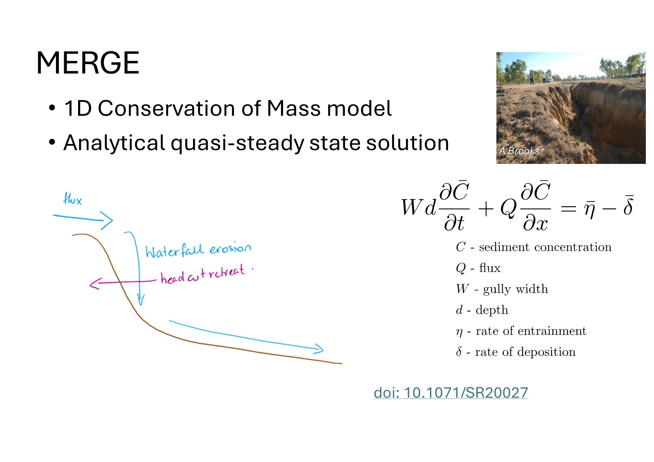
The model uses physics equations to understand how sediment behaves within the water column both as deposition and erosion to then turn that into maths. Other information that’s helpful to build the gully model with the right parameter values are:
Melanie carried out checks with people who’d been studying these systems, and have observed these systems for a long time, to see if the model was consistent with the different observations and the gully erosion behaviour that they were familiar with.
The other question built into the mathematical model is ‘what sort of actions could you implement at that site in order to be able to fix it?’.
The key consideration for this body of work so far is that it is a collaborative process between the mathematician and a technical person who understands gully processes and can validate and ‘sanity- check’ the model outputs. Throughout the model build process, she was trying different approaches, talking to the gully experts and, if it wasn’t doing what it should be doing, she went back and fixed the model.
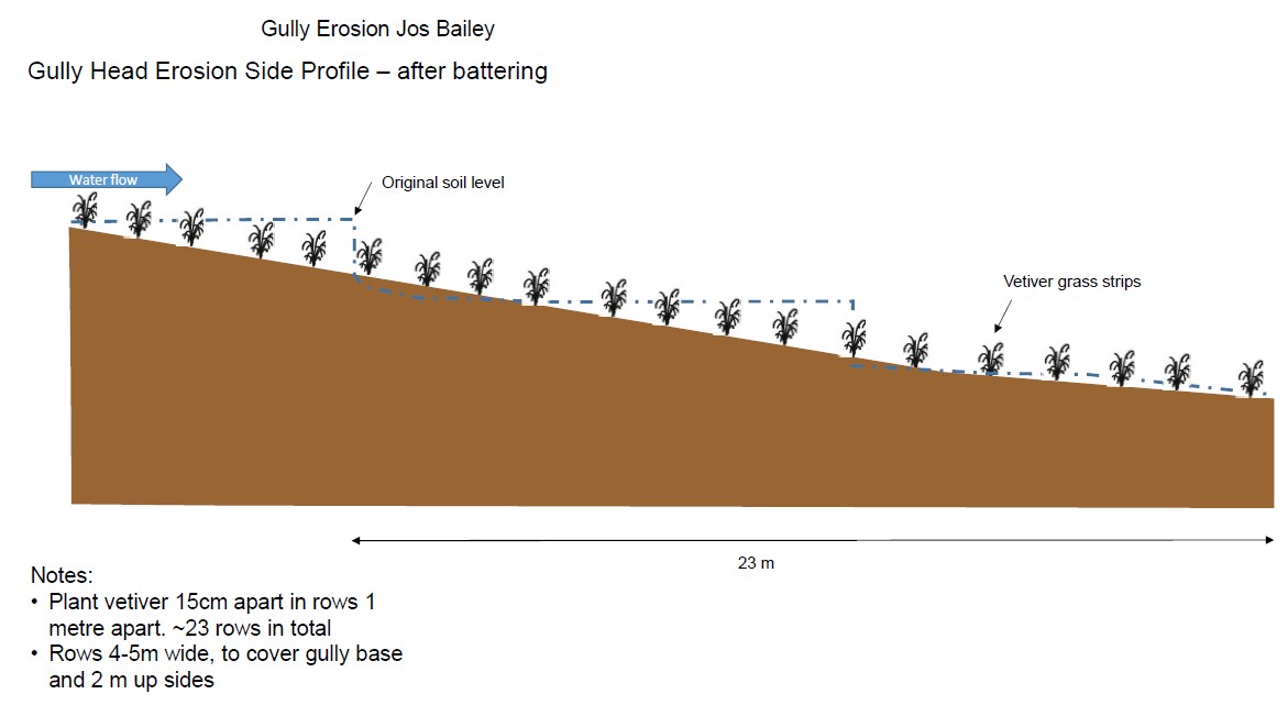
One such person who could help Melanie validate the model is Mark Waud, Team Leader – Land Restoration, from Healthy Land and Water. He joined the conversation to share how Melanie’s model supported them to look at various gully erosion management actions such as diversion banks, revegetation with Vetiver grass hedges and rock capping of the gully.
Mark was excited to be able to have Melanie do the maths upfront and demonstrate the benefit that they could potentially get from undertaking these works in these gully systems. It is invaluable for business case development and understanding return on investment.
Ultimately, for Melanie’s body of work, the goal is to build a tool that, with a bit of training, people can use to supplement the information that they have from other sources.
And Melanie’s aim is to build this tool with information that is easy to capture on site with a tape measure and cameras!
Stay tuned as Melanie continues this body of work to be able to capture the effect of the physical processes of Gully management at a larger catchment scale. She acknowledges it is a very, very ambitious project!
Dr Roberts is the recipient of an Australian Research Council Industry Fellowship (project number IM230100184) funded by the Australian Government in collaboration with Queensland Government through the Queensland Water Modelling Network. MERGE was developed in collaboration with, and received funding support from, Queensland Government through the Queensland Water Modelling Network.