05/12/2024
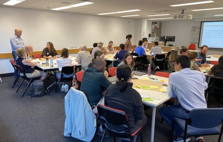
Event Summary: Overview of water quality modelling projects from the Queensland Water Modelling Network with Callym Dunleavy
Read more
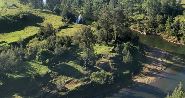
Gully erosion is the source of around 40% of the sediment that is polluting the water of the GBR lagoon. These gullies are like a cancer eating away at the landscape and they are not equally distributed across the catchments.
They tend to be occur in clusters in certain landscape types and on certain soils. There are also a small number of super sources: large gullies that are disproportionately contributing large amounts of fine sediment – making them high value targets for rehabilitation. Sometimes these gullies are hiding away in remote locations and may not be known to local managers.
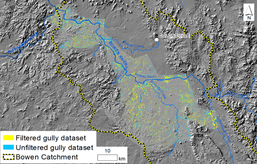
The PrESM (Precision Erosion and Sediment Management) team from Griffith University is leading a research program funded by the Queensland Government’s Major Integrated Project in the Bowen (the Landholders Driving Change Project), a QWMN funded project focused on gully classification, and a broader project funded by NESP to map and prioritise gully rehabilitation effort.
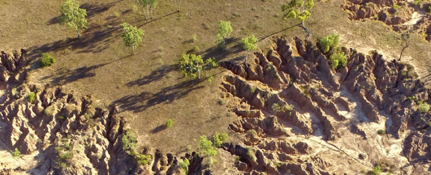
Gullies are mapped from lidar data and classified according to a range of their characteristics including their sediment yield.
“Establishing Gully Sediment yield is one of the tricky parts because this is where we have to analyse historical data to determine the trajectory of the gullies over recent decades”.
This is done using repeat lidar surveys, which we have for a sample of 2000 gullies across the Bowen. We also undertake analysis using historical airphotos at a selection of gullies across the landscape.
After classifying the gullies into different types, we can then estimate gully sediment yields based on their attributes, including soil type. For the GBR we are particularly interested in the gullies that are disproportionately contributing very fine sediment.
“Once we know where the gullies are, how big they are, and how much sediment they are producing we can undertake region wide prioritisation to work out which gullies will be the most cost-effective to rehabilitate”.
This is where we bring in Resource economists A/Prof Jim Smart and Dr Syzelin Hasan.
The cost-effectiveness of rehabilitating gullies is determined from the combination of their physical attributes, i.e. how big they are, how much sediment they are producing etc – and a range of logistical attributes. For example, how far away they are from the source of materials required for rehabilitating them; how far away from human resources and heavy machinery; what the road network is like to get to the site, amongst other things.
With all of this information we can then undertake optimisation analysis to work out which clusters of gullies can be rehabilitated in the most cost-effective manner, and most importantly achieving the greatest improvement in water quality in the shortest possible time.
For more information contact Assoc. Prof. Andrew Brooks.