05/12/2024
Event Summary: Overview of water quality modelling projects from the Queensland Water Modelling Network with Callym Dunleavy
Read more
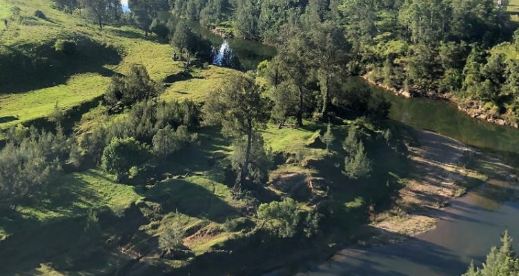
Groundwater dependent ecosystems (GDEs) are defined by Richardson et al. (2011a) as “ecosystems that require access to groundwater to meet some or all of their water requirements on a permanent or intermittent basis, so as to maintain their communities of plants and animals, ecosystem processes and ecosystem services”. In areas of water stress evapotranspiration of groundwater from GDEs has the potential to make up a large component of a catchment water balance.
The objective of this research is to better understand the interactions of terrestrial GDEs with groundwater by collecting data, and assess how this data can be more effectively upscaled to larger areas. This upscaled information can then be utilised to reduce one of the uncertainties associated with water resource models.
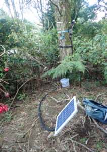
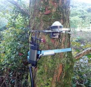
The Phase 1 field program will involve collection and interpretation of multiple datasets including climate, soil type, soil moisture, groundwater level, plus ecological mapping and monitoring of vegetation using sap flow meters, dendrometers and stem psychrometers. Much of the field equipment has been loaned to the project by DES, with additional funding for several new instruments being provided by DNRME.
Water quality samples from groundwater, soil, and vegetation will also be collected and analysed on several occasions throughout the field campaign to assist with identifying the source of water being utilised by the vegetation. Analyses will include major ions, stable isotopes, and dissolved metals such as iron.
Once the field data is collected and analysed, Phase 2 of the project aims to investigate how GDEs can be better represented in numerical groundwater models. We hope to use the field data to update existing groundwater models with more accurate EVT estimates based on the refined conceptualisation developed in Phase 1. In addition to field data, satellite based remote sensing datasets are likely to provide a valuable resource for this phase of work.
Sap flow meter and dendrometer installations
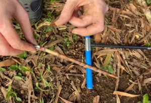
Tree coring to determine sapwood thickness
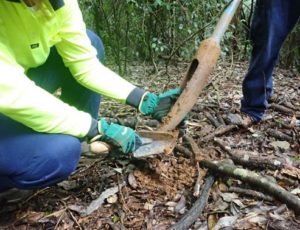
Hand augering to assess soil type
Drying of soil samples to determine moisture content
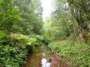
Springbrook GDE (from BoM GDE Atlas)