05/12/2024
Event Summary: Overview of water quality modelling projects from the Queensland Water Modelling Network with Callym Dunleavy
Read more
Estuaries are economically valuable ecosystems that are being increasingly threatened by anthropogenic pressures. Traditional water monitoring programs are often based on in-situ measurements that are not necessarily adequate to inform estuary management plans. Changes in climate and land use may directly affect hydrologic processes and nutrient cycles at catchment scale and induce changes in water quality and flooding in urban estuaries.
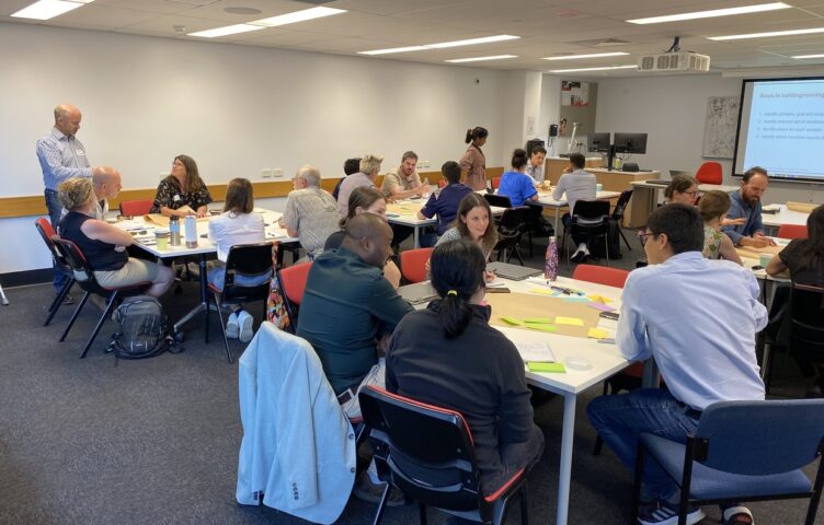
This article describes the doctoral research that Chao Deng, one of the QWMN Innovation Associates, is conducting to assess the impacts of climate change and land use change on water quantify, water quality and flood risks in the Nerang River Catchment, and to understand the complex ecological processes in this shallow urban system. Chao is pictured below along with the other QWMN Innovation Associates (from r to l), Laura Bellis, Chao Deng, Filipe Pinhati, Chinenye Ani and Cherie O’Sullivan.

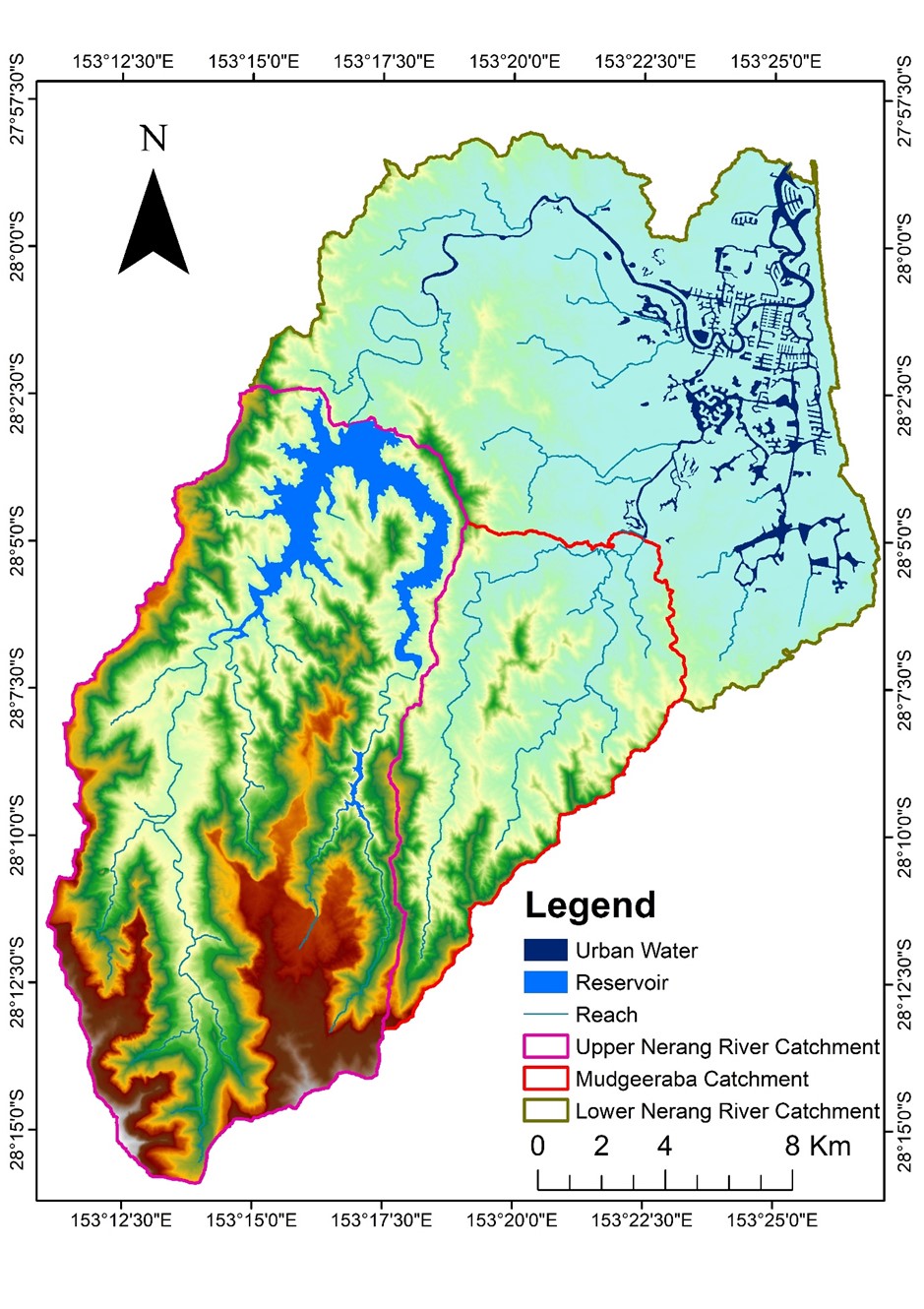
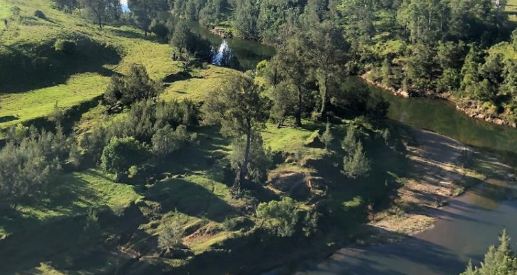
Nerang River catchment, the largest and most significant river system on the Gold Coast, is located in the fast-growing Southeast Queensland region and provides essential water supply and multiple services for the City of Gold Coast. Streams in this region are subject to large water quality fluctuations and to moderate to major floods.
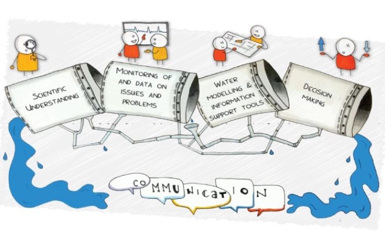
Chao’s research will integrate multiple environmental datasets, such as topography, soil, land use, meteorology, stream discharges, water quality and water levels, for modelling the hydrological processes in Upper Nerang River catchment and hydrodynamics in the urban estuary. Remote sensing will be applied for retrieving water quality parameters of chlorophyll a and turbidity in the estuary. Outputs from remote sensing can be used to validate a water quality model, coupled with a hydrodynamic model, to identify the dominant processes affecting biogeochemistry of the estuary.
With the aid of downscaled and bias corrected climate data and development of land use scenarios, effects will be evaluated of climate change and land use change on flood risks in the Nerang River Catchment. The model simulations will provide insights into the potential impact of climate change and land use change in a vulnerable subtropical catchment.